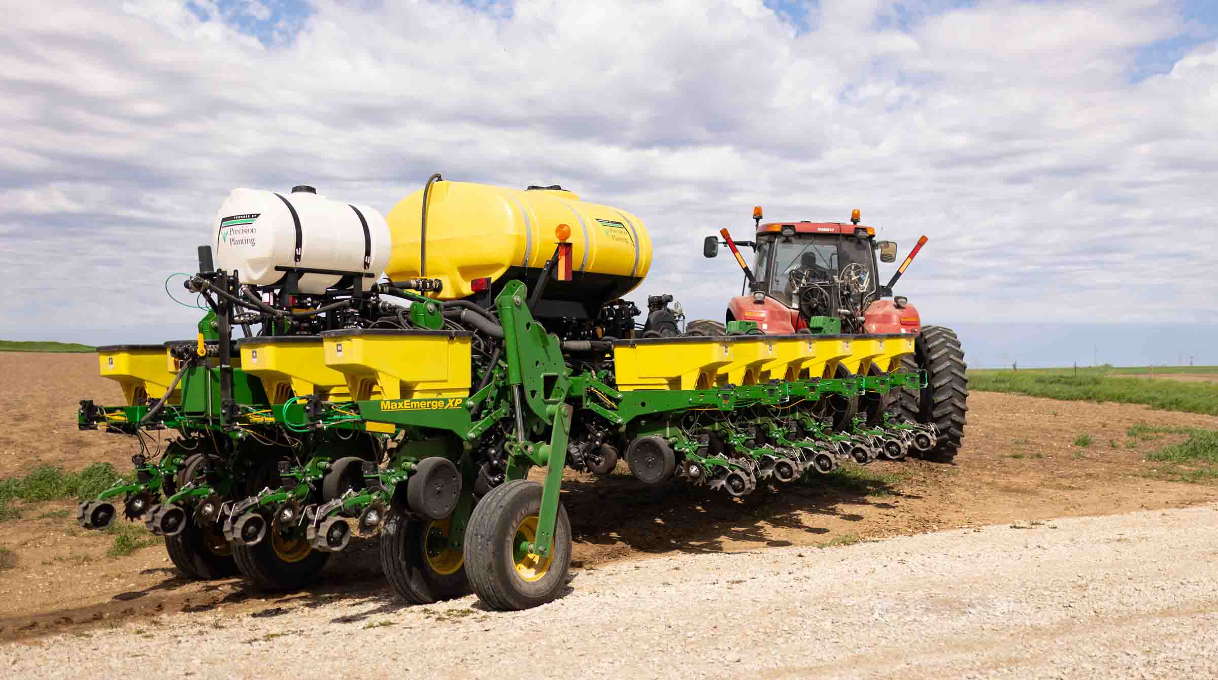
(Photo: Iowa Soybean Association / Joclyn Bushman)
Planting moves slowly thanks to wet weather
May 30, 2024
It’s a tale of the good, the bad and the ugly.
Significant rainfall in the past few weeks has lifted most drought concerns across the state, but it has also meant a much slower pace when it comes to planting soybeans compared to recent years.
More importantly, many Iowans continue to dig out and assess their next steps following severe weather, including several tornados that have impacted areas across the state.
In the latest U.S. Department of Agriculture’s (USDA) National Agricultural Statistics Service (NASS) report, the severe weather including heavy rains, tornadoes and derecho conditions limited Iowa farmers to just more than two days of suitable fieldwork during the past week. Planting soybeans, as well as corn and cutting hay was, at best, limited.
Seventy-three percent of Iowa’s expected soybean crop has been planted – that’s 10 days behind this time in 2023 and three days behind the norm. Soybeans emerged reached 42%, or roughly five days behind last year.
“Our hearts go out to all the Iowans and communities who have been affected by the recent rounds of devastating severe weather,” says Iowa Ag Secretary Mike Naig. “The outpouring of support for those affected highlights the remarkable strength of our state and its people. Iowans are resilient and we will get through this together.”
Planting progresses as conditions allow, but many farmers continue to face delays, Naig notes.
Outlooks into the first week of June show elevated chances of warmer temperatures and near-normal rainfall chances. This will hopefully lead to conditions more favorable for field work.
Drought buster?
Although getting into the fields continues to be an issue for some farmers, the recent rainfall has dramatically improved moisture levels and significantly lessened drought concerns across Iowa.
According to NASS, topsoil moisture condition rated 71% adequate and 26% surplus. Subsoil moisture conditions were listed at 72% adequate and 17% surplus.
According to the latest report from the U.S. Drought Monitor, three-fourths of Iowa has no issues – 75.73% of the state was considered drought free, while one-fourth (24.27%) of Iowa counties were listed as being abnormally dry. Most of those counties are located in northeast Iowa.
At this time last year, only 7.5% of the state had adequate moisture or were free of drought concerns, while nearly 88% of Iowa was marked as being abnormally dry or suffering from moderate drought conditions.
State Climatologist Justin Glisan says the weather has been a challenge lately.
“Iowans experienced one of the most active reporting periods in recent memory with nearly 30 tornadoes, a late-week derecho and anomalously wet conditions,” says State Climatologist Justin Glisan. “Many northeastern stations reported at least 350% of normal rainfall.”
Temperatures were near-normal west to six degrees above normal east; the statewide average temperature was 64.9 degrees, 2 degrees above normal.
Strong thunderstorms rumbled across the state on May 19. Thunderstorms persisted through late morning the next day with temperatures in the low 50s northwest to mid-60s southeast.
Rain totals were highest across a southwest to northeast swath with 18 central to south-central stations receiving at least 2 inches; Osceola (Clarke County) observed 2.8 inches while 2.95 inches was reported in Sully (Jasper County). Widespread .50-1-inch totals were also reported with a statewide average of 0.67 inch.
“There were several reports of multi-vortex tornadoes in southwest Iowa with Greenfield (Adair County) taking a direct hit from a higher-end EF-4; sadly, there were 35 injuries and five fatalities,” he says.
The long-track supercells sped at nearly 40 mph into central Iowa where additional tornadoes formed between Des Moines and Nevada, Glisan notes. As the line evolved, widespread reports of severe straight-line winds continued into eastern Iowa along with moderate to heavy rainfall and some hail. Over the preceding 36 hours, 140 stations reported more than 2 inches with totals in the 4-6 inch-range in central to western Iowa; Polk City registered 4.01 inches with a 6.14-inch total at Missouri Valley and a statewide average of 1.57 inches.
Weekly precipitation totals ranged from 0.75 inches at Keokuk Lock and Dam (Jones County) to 8.63 inches in Vining (Tama County). The statewide weekly average precipitation was 3.41 inches; more than triple the normal of 1.10 inches.
Meanwhile, as Naig suggested, warmer weather and drier conditions are expected over the next week.
While this Friday looks rainy, the next several days will be mainly dry with sporadic chances for thunderstorms. High temperatures will be in the upper 70s and lower 80s throughout much of the state.
Iowa Soybean Association Board Secretary Tom Adam says there’s no question about moisture levels right now.
“We have more than adequate moisture,” he says. “There are still some beans that need to be put in.”
Fortunately for him, Adam says he’s been able to plant all of his soybeans and corn on his Keokuk County farm.
“Things are progressing,” he says. “However, it’s going to be a late spring for some farmers in the area.”
And while Adam has seen some flooding issues in a few fields, including having to replant some of his corn, the ISA District 9 board member says he’s an optimist.
“It’s getting better now,” he says.
Back